Free Stuff (Datasets)
I have included a couple of free culture datasets which can be downloaded and imported into the GeoGraphix™ Exploration System. These datasets were created from public sources and do not require permission to use. Also included is a free example showing carbonate lithofacies logs using MAGIC statistical log analysis software.
![]()
County Outlines in the United States
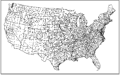 |
Data consists of county names and low-resolution outlines for all counties in the United States. Download the zip file (3.449 Mb) of all 50 states in GeoGraphix™ GES CDF Cartographic Data Format. To use, unzip the 50 state files and import using LandNet Data Import. |
![]()
USGS Quadrangle Outlines in Texas
To order information from the State of Texas, you need to know the USGS 1:24,000 quadrangle names.
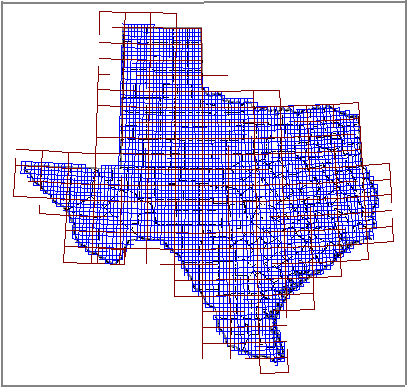 |
Data consists of USGS names and outlines for 1:24,000, 1:100,000, and 1:250,000 scale topographic quadrangles covering the State of Texas. Download the zip file (1.73Kb) of the USGS quadrangles in GeoGraphix™ GES CDF Cartographic Data Format. To use, unzip the files and import using LandNet Data Import. |
![]()
Carbonate Lithofacies Log Example
Multivariate Analyses for Geological Information from Cores (MAGIC Log).
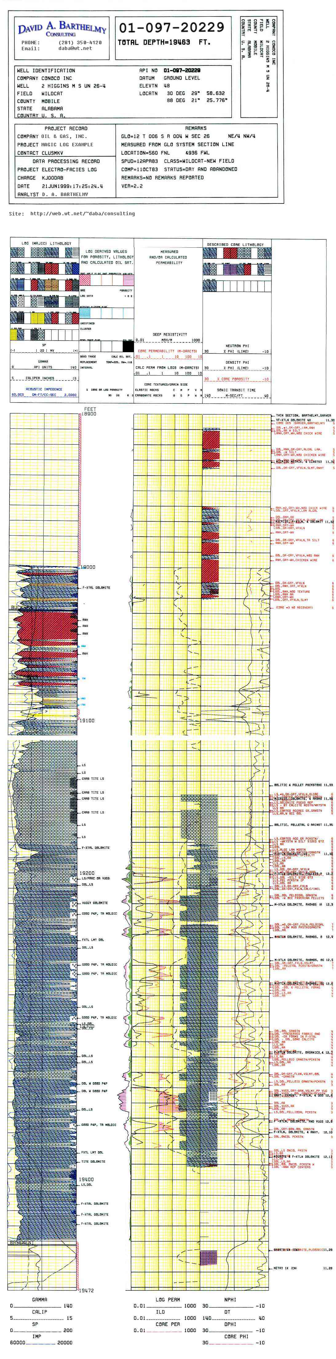 |
Data consists of a 535kb jpg image of an example carbonate lithofacies log. Please see the background information describing the technique. To view and print the log, follow this link and use your browser's "save as" function to copy the image to your hard disk. To print at 5 inches = 100 feet, use 100 dpi (dots per inch) resolution. |
![]()